CAPE HORN/GLACIERS
Sailing to the myth of the end of the world
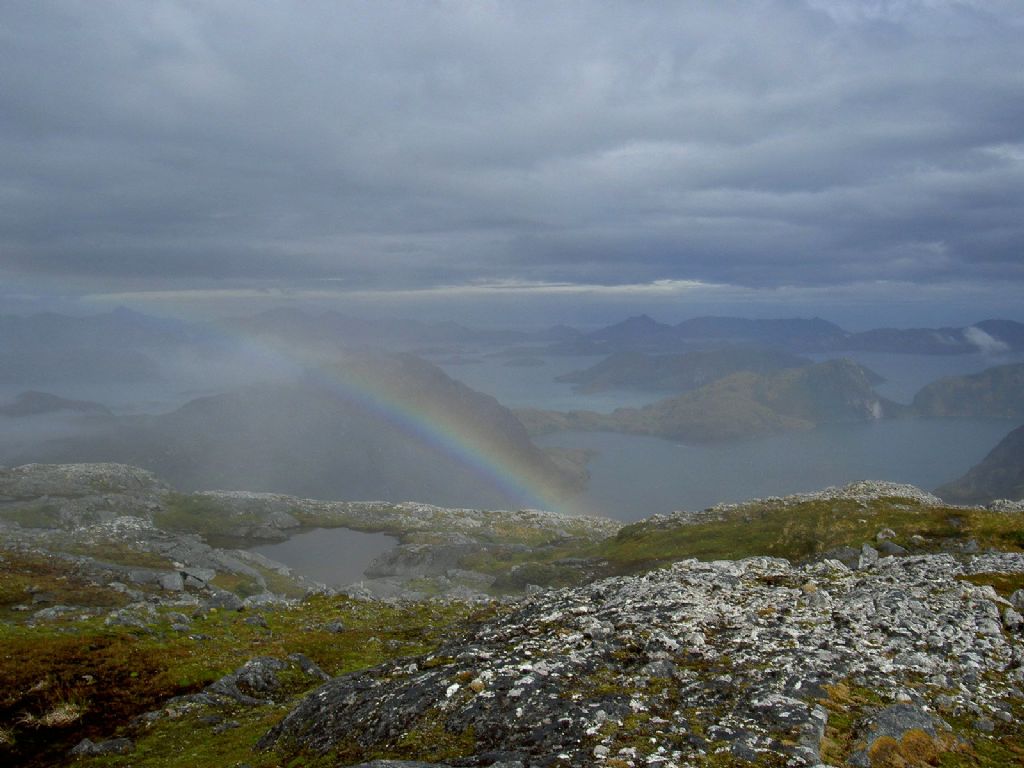
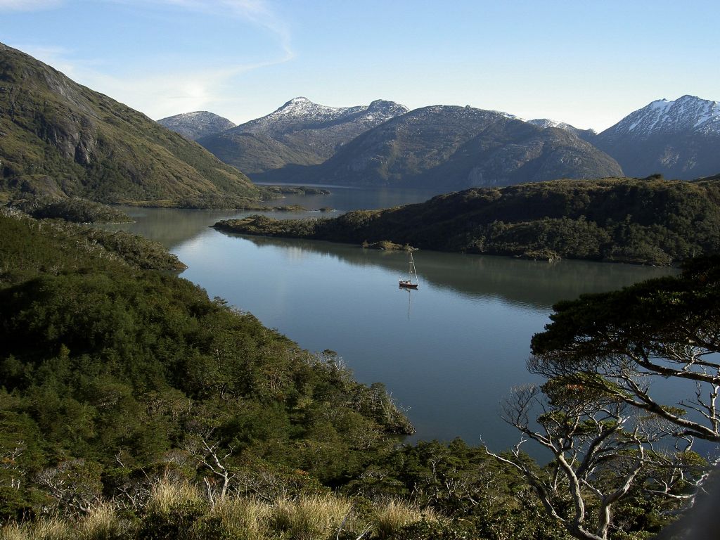
On a 54 ft. yacht, together with our guests, we are going to experience the natural wonders of Patagonia. On two week trips we will "conquer" Cape Horn, we will see the glaciers of the Chilean Drake Mountains with their impressive walls of ice and floating icebergs, and we will live surrounded by the natural beauty of the Patagonian south, amongst the waterfalls, the beavers, the guanaco's, seals...
Two Weeks Itinerary
1. Day Ushuaia (54°56'S / 68°06'W)
Beautiful view from the plane across the Beagle Channel and glaciers - we meet at the jetty of Club Nautico - you choose your bunk and get familiar with the boat - last big shopping for 2 weeks - sailing across the Beagle Channel - we pass 'Isla dos Lobos': Sea Lions and Cormorants.
2. Day Puerto Williams (54°56'S / 67°36'W)
We anchor at 'Seno Lauro', the best natural harbour of this region - the wreck of the 'Micalvi' is our jetty and provides at the same time all harbour facilities: pub and shower - here are a handful of boats tied off already, getting ready for Antarctica or just coming down from the Chilean Channels - Yamana Indians - Martin Gusinde Museum - last shower at Micalvi.
3. Day Puerto Toro (55°05'S / 67°06'W)
Laid back Puerto Williams - one thousend two hundred inhabitants - high military presence but totally out of date - no private telephone lines - sailing the Beagle Channel - Puerto Toro: most southern settlement of the world - fifty inhabitants - dealing one bottle of whisky for a crate full of King Crabs - detailed weather analysis for the right moment to go to the Horn.
4. Day Bahia Scourfield (55°45'S / 67°20'W)
Early in the morning we can watch the beavers - passing 'Isla Lennox' and 'Isla Nueva' - at 'Isla Evout' we might sight some Albatross, since this island is an important breeding place for them - we anchor at Bahia Scourfield, Wollaston Group, and do some trekking to an inland lake.
5. Day Cape Horn (55°50'S / 67°18'W)
"The classic aspect of Cape Horn is the cliff face to the southern headland. Well below its summit, the old lighthouse I saw burning back in 1977, still stands, but shines no more below the clouds. On exposed rocks, a mile offshore, the sea breaks heavily even on a calm day, as the rollers coming in from the Southern Ocean pile up on shelf water, 75 miles away to the south-west."
Cape of the ultimate challenge - many destinies and catastrophes have taken place here - symbol for the end of the world. - visit to the island: Chilean navy control post - passport stamps - chapel - monument - wildlife - deep tussock grass.
6. Day Rounding Cape Horn
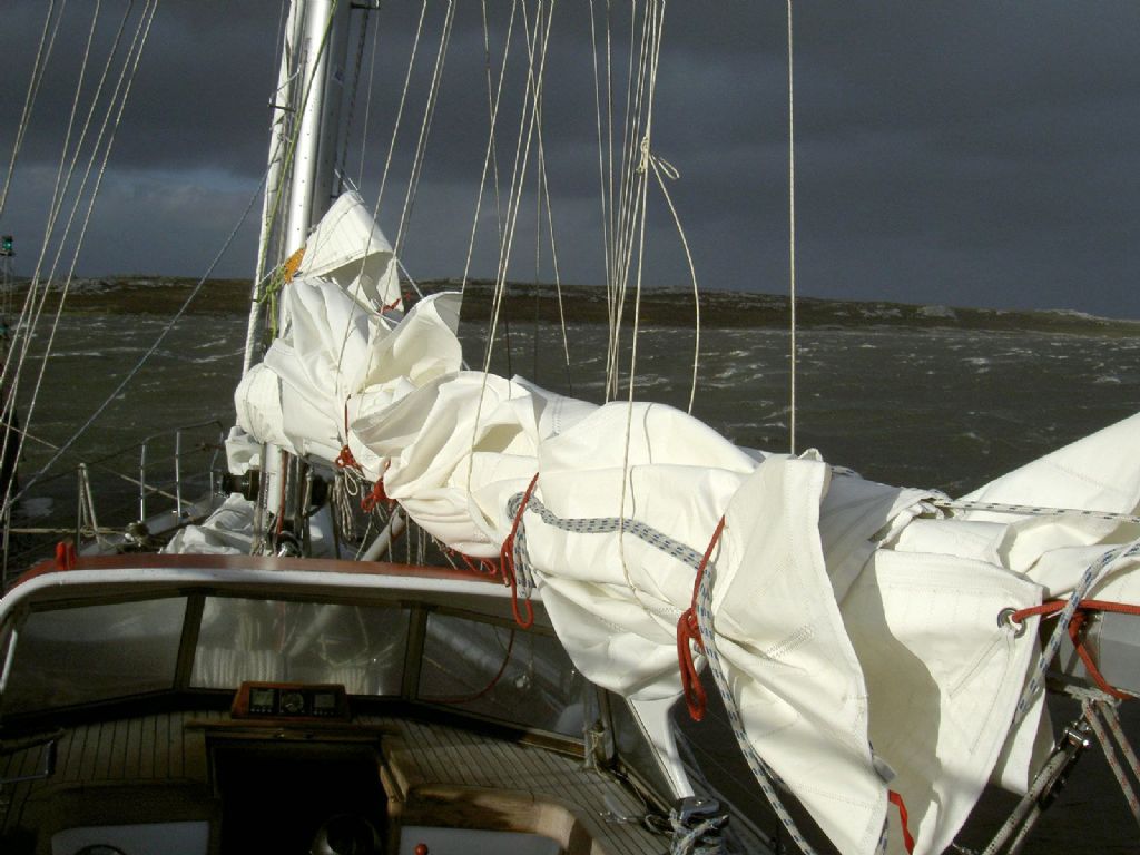
This will most probably be a tough day, the sea is very rough, we get short waves, we get changing local winds, its cold and wet - we have to fight - last radio contact with navy patrol station at 'Cabo de Hornos', they will contact Puerto Williams and have our names registered: we have rounded Cape Horn - on our way to a well deserved rest Commerson- & Dusky Dolphins, Seals, - Wandering Albatross, Condor, Giant Petrels, Wild Goose, Skuas, follow us to Caleta Martial.
7. Day Caleta Martial (55°40'S / 67°25'W)
We get a bit of rest - we can make a beautiful long trekking along the coast - Yamana Indians have lived here with their open canoes: they had no clothing, rowed in open canoes with an open fire in the middle, the women dived for King Crab, the coast was full of mussel heaps, they ate the 'Pan de Indios' - we head up north again towards Puerto Williams.
8. Day Puerto Williams (54°56'S / 67°36'W)
We fill up our tanks and might are lucky to get some fresh bread - we get our 'zarpa', our permission to head west - if the weather allows, we continue west along the Beagle Channel.
9. Day Yendegaia (54°54'S / 68°42'W)
We pass the Argentinean Ushuaia - we can see the first glaciers on the horizon - we anchor near to the farm, where the 'Gauchos' guard twenty to thirty thousend cattle: they do not know how may they have.
10. Day Caleta Morning (54°56'S/69°09'W)
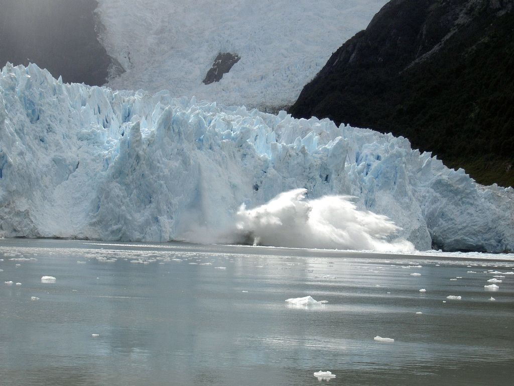
We pass 'Punta Divide', where the Beagle splits into the 'Brazo del Noroeste' and 'Brazo del Sudoeste' - can see the first floating ice - glacier ice breaks off the glacier and produces tremendous noise - more ice comes floating towards us - we reach the 'Ventisquero Hollanda' - with the dinghy we can come closer by - the glaciers are huge and push their massive icewalls into the Beagle - the ice is blue and crystal clear: a result of some thousand years of pressing.
11. DAY Ventisquero San Christobal (54°4'7S/69°37'W)
We can get ashore and reach the outskirts of this glacier - "We gazed in awe at the stupendous display of beauty all around us. The trees on the hillside close by looked too filigreed to be true; the white mountains and gleaming glaciers against a clear sky completed the picture." (Gerry Clark: 'The Totorore Voyage').
12. Day Yendegaia (54°54'S / 68°42'W)
We slowly have to head back towards Puerto Williams - depending on the weather and our 'Zarpa' we can still explore the creeks to the south - to save time we might sail during the night back towards Puerto Williams.
13. DayPuerto Williams (54°56'S/67°36'W)
At the navy control post we can pick up our Cape Horn certificate - make a splendid trekking up to the 'Pico Navarino' from where we get a tremendous view across the Beagle Channel - we exchange our experiences with the other yachts around - yachtlife.
14. Day Ushuaia
For the last time we sail the Beagle - fresh bread and cheese - transport to the airport.
