
Climate
The Drake Passage is the only interruption between the southern mountain ranges of the Andes, and its natural adversary, the Antarctic Peninsula, were steep mountains rise out of the icy waters like a giant dinosaur.
Although at the Cape Horn the average wind speed is not higher than at for instance Plymouth, it is still clear to everyone what made this cape so infamous. The winds and weather systems reaching the areas from the west can do so unhindered. None of the other continents extends farther south than 40 degrees South, while Cape Horn is located at 56_degrees South. thus, unobstructed by landmasses, lows can chase each other around the world. When they hurl themselves on the Andes mountain range, and find they can't pass this 2.5 mile high obstacle, they will press south and squeeze through the Drake Passage.
Because of this geological situation, a curious weather exists: 3 days of gales are often followed by 45 days of windless weather. Likewise it is possible that it is a bit windy with 60 knots at Cape Horn, while at Puerto Toro at 25 miles distance there is no wind at all (or vice versa).
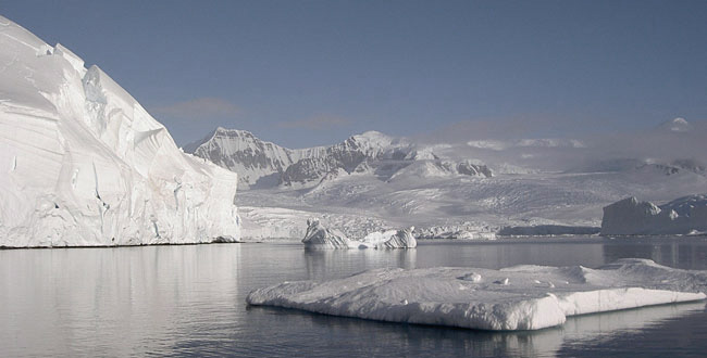
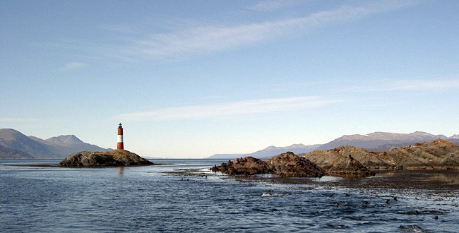
Around the Beagle Channel a mild maritime climate prevails. In summer average temperature during the day is 11 degrees C. Yearly precipitation is on average 75 mm. The channel never freezes in winter, and there are no icebergs (except in the immediate vicinity of glaciers).
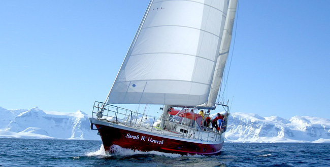
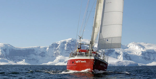
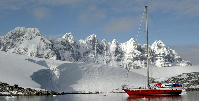
The Antarctic Peninsula is situated south of where the depressions rage through the Drake Passage and remains largely unaffected by their high winds. The winds are therefore gentle, often from the east. During summer one can expect to enjoy long periods of calm with lots of sunshine. The annual average precipitation is around 50 mm, whilst temperatures vary around 5 degrees C.
In the old days of sail, the windjammers had no choice but to round the cape, irrespective of the season or weather conditions. Due to the primitive navigation instruments, lack of precise charts and limited maneuverability of the vessels, it was impossible to safely seek the protection of the land against the high winds. It was therefore necessary to give the dangerous coast a wide berth, which meant the ships often had to spend extended periods of time out at sea. This of course increased again the chance of running into bad weather and encountering problems.
All this is different nowadays. Modern satellite navigation and weather forecasts, daily radio contact with other ships and the Chilean Navy have greatly enhanced safety while navigating these waters.
back